BS in Geographical Information Science
See depth, patterns and trends in geography; people, their movement and impact — all turned into data.
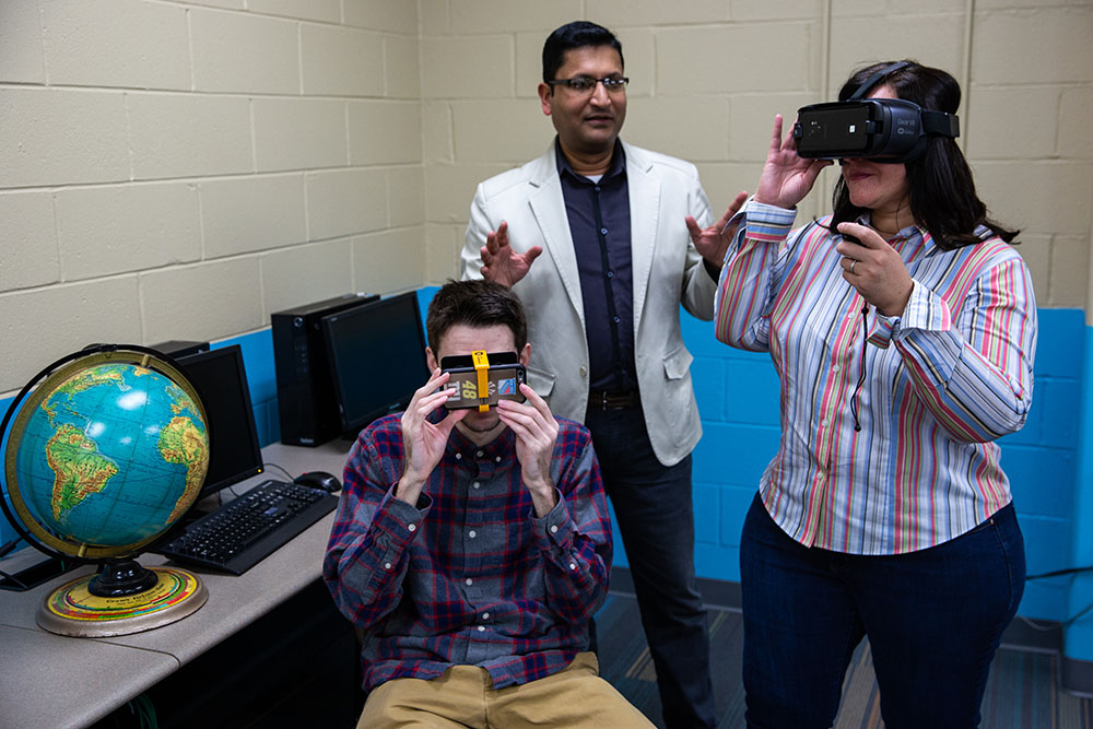
Why choose Rowan's geographical information science program?
Intervene in the world, don’t just live in it. Make sense of space, don’t just occupy it.
See depth, patterns and trends in geography; people, their movement and impact — all turned into data. Then lay it over the world to answer the big “why and where” questions. These are the questions and skills that Geographic Information Science (GIS) immerses you in.
With GIS, you won’t just change the world … you’ll build a new world.
Key considerations
Quick Facts
Months To Complete
Credits
Application deadlines
Fall Entry Term
Spring Entry Term
Summer Entry Term

Taking inventory of a water utility system or monitoring natural processes or wildlife abundance affords a certain amount of freedom I would ideally like to have in a job.
Tim L. Camden County, NJ

Within the major there’s a lot of analytical thinking you have to do. You can put charts into maps all day, but understanding what the map represents is the biggest takeaway.
James C. Hunterdon County, NJ
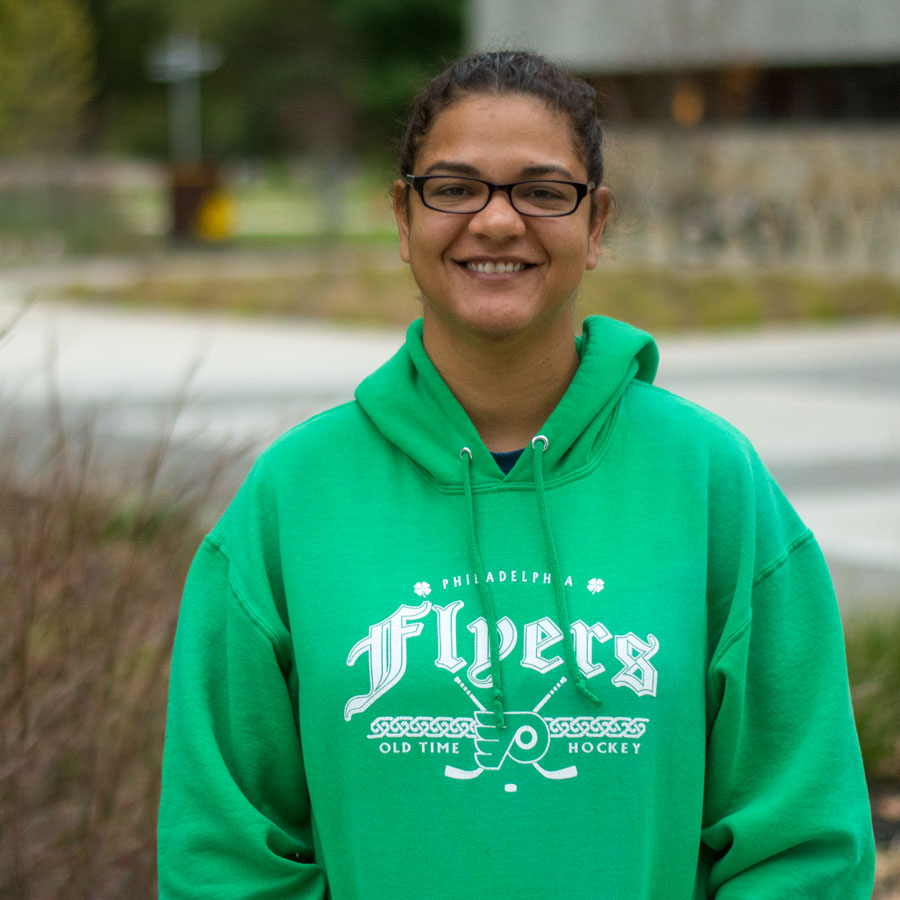
Prior to coming back to Rowan, I went into the military. I was a geospatial analyst. It was really nice to come here and integrate the education behind it.
Kristina W. Gloucester County, NJ

GIS is such a broad field. Data is everywhere. If you’re willing to look for the patterns, it can answer a lot of interesting questions.
Eleanor T. Salem County, NJ

A lot of people think that GIS is only mapping. It allows you to get an insight on a lot of different cultures and people.
Erica B. Gloucester County, NJ
Careers and outcomes
Recommended for doers, creators, and persuaders who are interested in careers in:
- Geospatial Analysis
- GIS Map App Development
- Climate Science
- Surveying
- Conservation
- Imagery Analysis
Building Better Spaces with GIS
From the blog
Beyond the Classroom: How Rowan Students Experience New Jersey’s Pine Barrens Firsthand
From Chameleons to Horseshoe Crabs, a Biological Sciences Major’s Week in Experiential Learning
Related programs
Additional majors that may interest you: